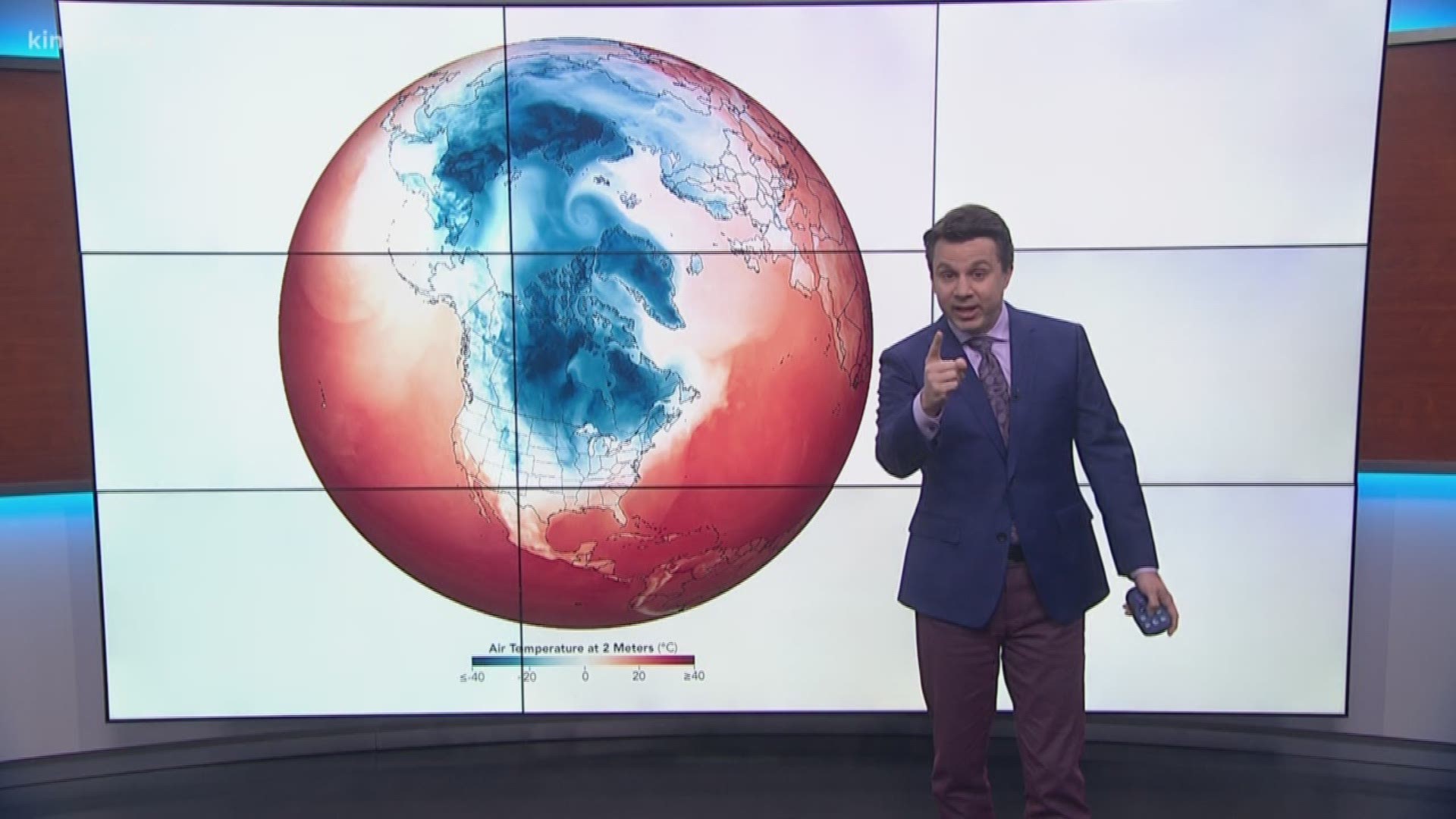
With so many images of arctic cold gripping the nation, it's understandable if you're wondering how this is possible with global warming occurring at the same time.
The most important thing to remember is that while it is still cold at the north pole, it's not as cold as it used to be. In fact, while the rest of the planet has warmed 1.8 degrees on average over the past 50 years, the Arctic has warmed by twice that amount.
That uneven change in temperature has the potential to alter weather patterns across the globe.
The arctic vortex and the jet stream are excellent examples of those impacts. Under normal conditions, it's the vast difference in temperature between the poles and mid-latitudes that drives the high wind speeds of the jet stream and the polar vortex.
As temperatures at the poles have warmed faster than those at the mid-latitudes, the difference between the two is not as intense as it once was. That has allowed the winds of the jet stream and polar vortex to weaken, and those weaker winds have allowed the vortex to bend into the lower latitudes where we all live.
While there is not yet a clearly proven connection between global warming and the recent behavior of the polar vortex sweeping across the Midwest, there is clear evidence that the polar vortex has weakened over the past 30 years in lockstep with the increase in temperatures at the poles.
That weakening has led to more incidents of the vortex "breaking" and bringing arctic air the mid-latitudes, such as this week's blast.

