
SEATTLE — Chances for thunderstorms remain through the rest of the week in western Washington, although it isn’t expected to be like the storms that rolled through Saturday.
Between Saturday and Sunday morning, there were 3,302 lightning strikes in Washington state, according to the Northwest Interagency Coordination Center. The lightning sparked brush fires, forced cancellations and gusty winds caused power outages.
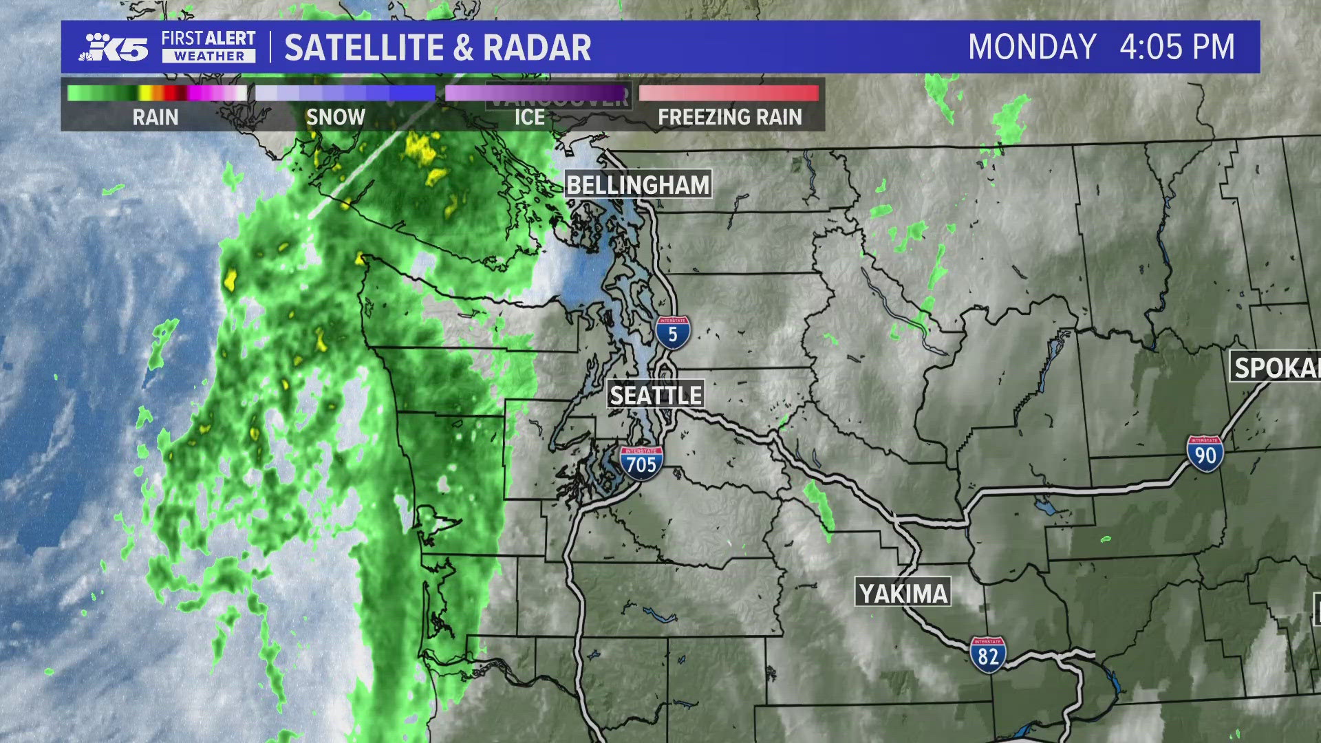
There are chances for spotty thunderstorms in western Washington until Thursday. However, the National Oceanic and Atmospheric Administration’s (NOAA) Storm Prediction Center hasn’t issued a thunderstorm outlook for western Washington, meaning the level of risk hasn’t reached the threshold for NOAA’s scale.
Tuesday has the best chances for thunderstorm activity this week, according to KING 5 Meteorologist Adam Claibon. Rainfall is expected to pick up Tuesday afternoon as a weak disturbance brushes the region.
Another disturbance will move through late Wednesday into Thursday for further thunderstorm chances.
Temperatures are expected to remain cooler with highs in the upper 60s to low 70s, which limits the amount of energy that could fuel a thunderstorm. If it stays cloudier, that could also moderate thunderstorm activity, Claibon said.
One positive aspect of this system is that it is expected to bring beneficial rainfall to the region. Claibon said Puget Sound could get up to 0.25 inches through Thursday. The north coast will see the most rainfall across the region with at least 2 inches possible.
Depending on the placement of the low pressure system, rain chances could continue into next weekend. However, Claibon said at this point it appears most moisture will be gone by the weekend.