This July has not been very "July-like” in western Washington. It has been wet and dreary. In fact, this has been the wettest start to July in over 20 years.
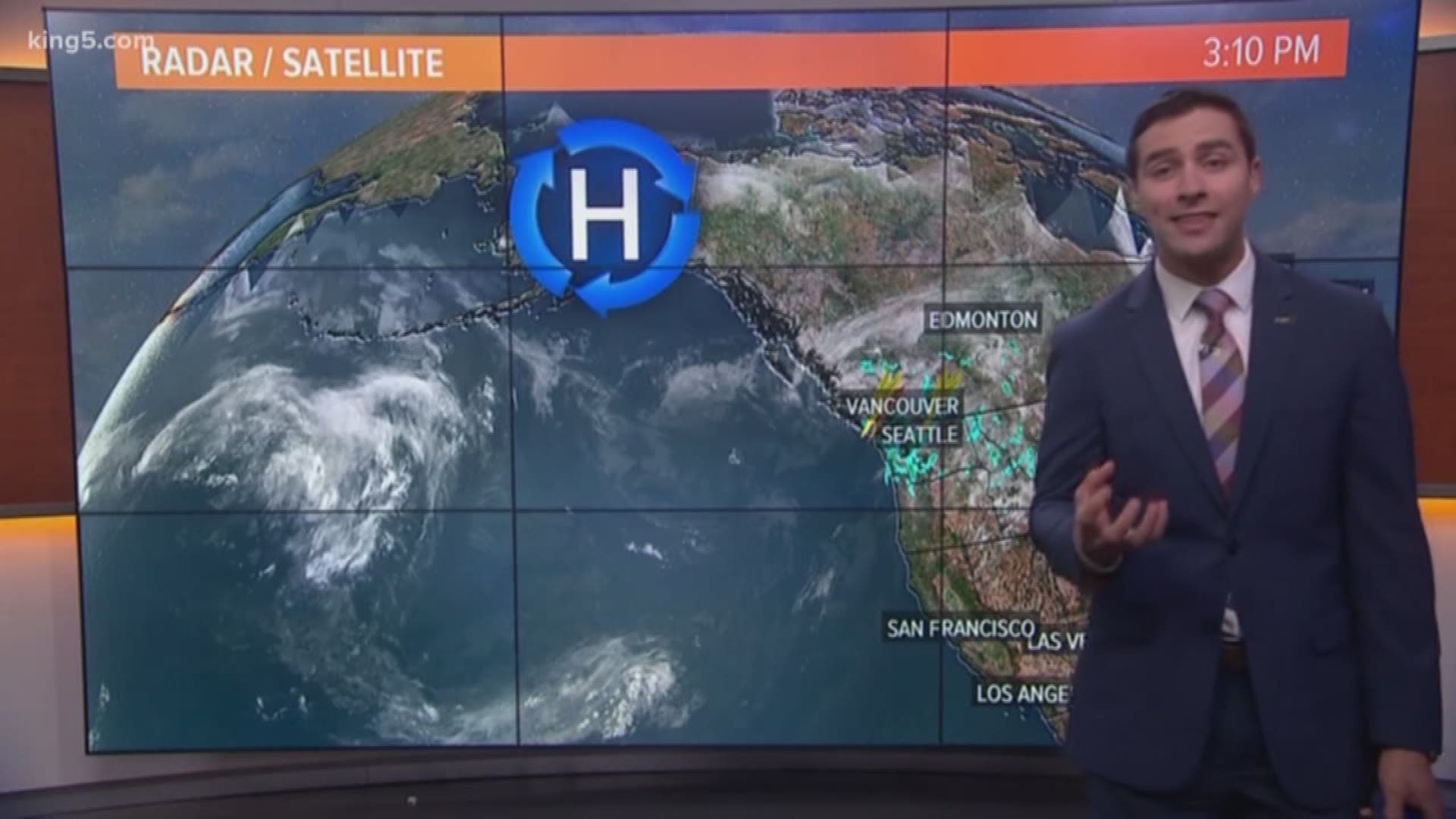
The reason summer has yet to arrive is that we're stuck in a gloomy weather pattern. There's a general trough of low pressure sitting just offshore that's allowing weather systems to spin into western Washington, giving us rain opportunities and seemingly cooler temperatures. Although so far this month, temperature-wise we're on par for average.
In the meantime, record heat has been impacting a large part of Alaska. The eastern half of the country is also dealing with summer-like weather.
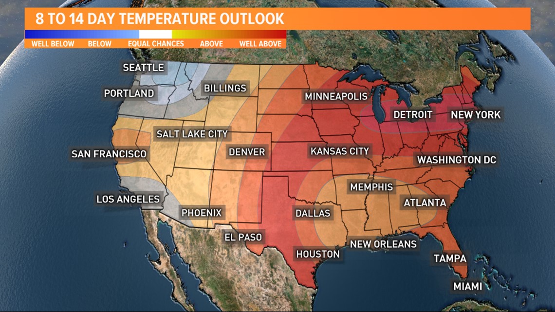
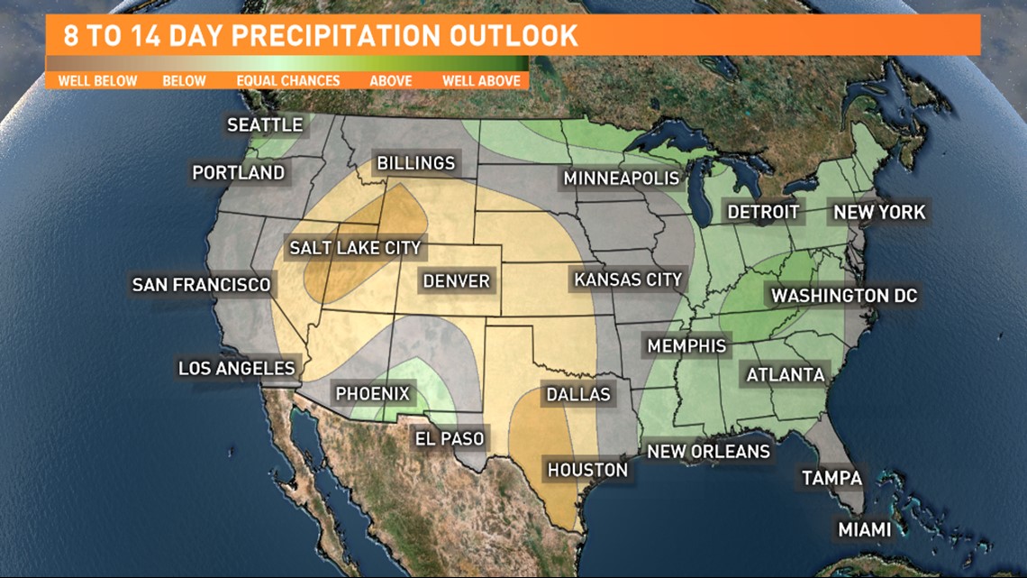
The current forecast from the Climate Prediction Center has parts of the Northwest continuing to deal with both cooler than average temperatures and wetter than normal precipitation.
The temperature and precipitation outlook maps below go out until July 25.


Even though this isn't the weather most people come to expect in July, the rain is doing wonders for Washington's drought and wildfire situation.
The rain is falling right where it needs to, where severe drought has crept into the western part of the state. We're also shortening the wildfire season with wetter conditions arriving during the statistically drier time of the year. Both are good things.
Real summer will inevitably arrive. Even though it has been gloomy, we certainly know what the other end of the weather spectrum looks like during the seasonal drought July and August.


