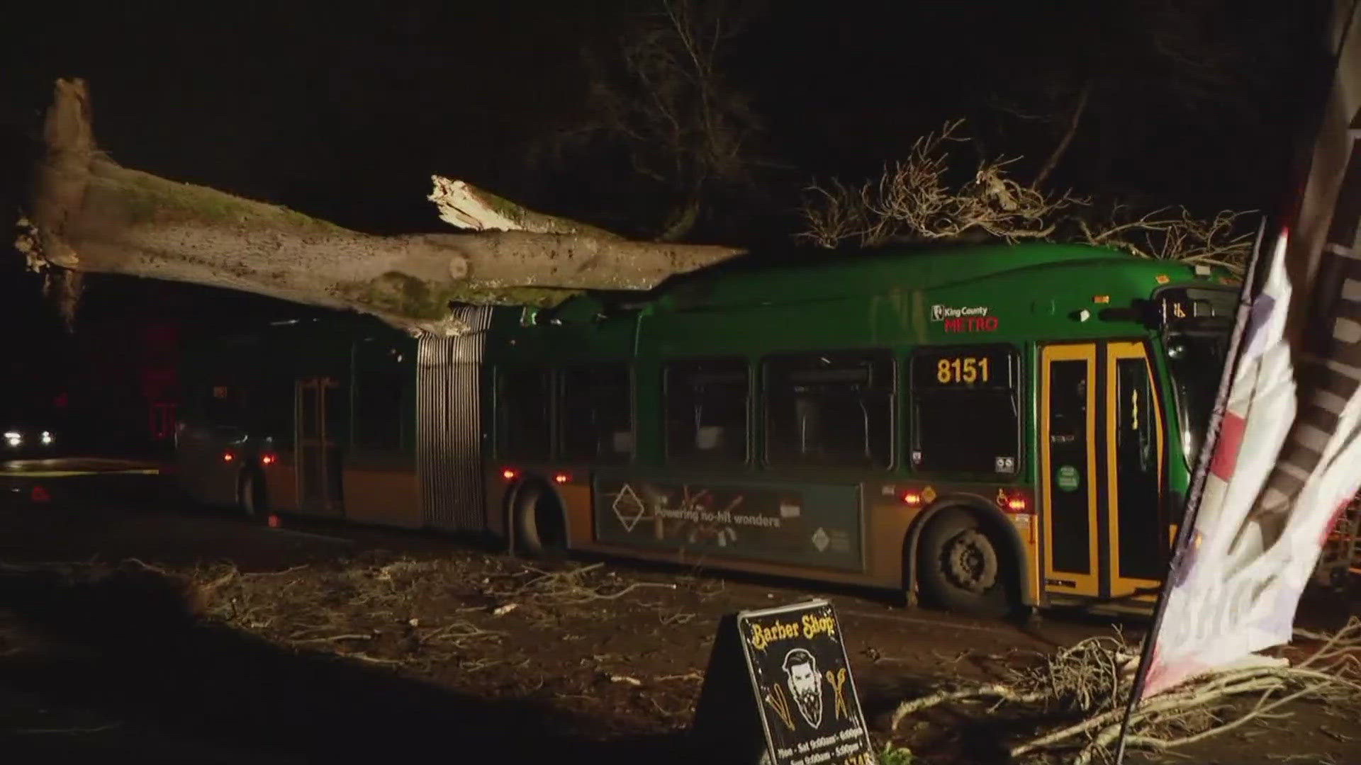
SUNRISE, Wash. — A bomb cyclone that developed off the coast of Washington produced high-speed wind gusts across a large swath of the Pacific Northwest, reaching from Vancouver Island to the South Cascades.
The top wind speed recorded by the National Weather Service was taken by a buoy off the coast of Vancouver Island, reporting a gust of 101 miles per hour.
In Washington state, the highest wind speed recorded on Tuesday night was a gust of 77 mph at Sunrise in Mount Rainier National Park. A gust of 74 mph was recorded in Enumclaw. The storm caused hundreds of thousands of power outages and widespread traffic impacts.
Here are some of the other top windspeeds throughout the area:
- Cape Elizabeth buoy: 72 mph
- Camano Island: 63 mph
- Port Townsend: 61 mph
- Federal Way: 57 mph
- Sea-Tac Airport: 55 mph
A cyclone itself is a system which is known to produce violent winds, large waves, torrential rains and floods. A bomb cyclone is what happens when a cyclone rapidly strengthens over a 24-hour period.
Bombogenesis is the term used to describe this process. It occurs when a cold air mass collides with a warm air mass, often over the ocean. In this case, cold air coming down from the Gulf of Alaska collided with warm, tropical air, which was lingering off of Washington's coast. An atmospheric river associated with this system hit southern Oregon and northern California.

