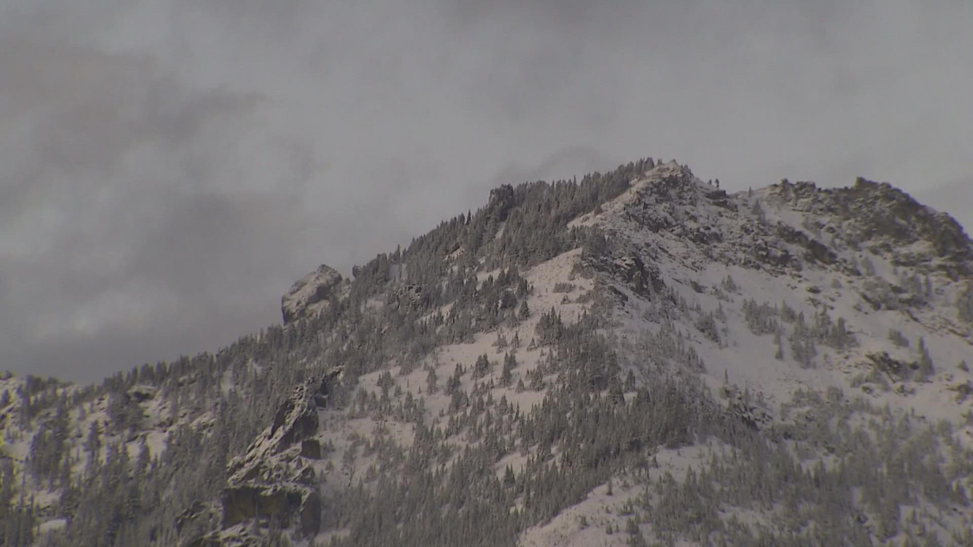
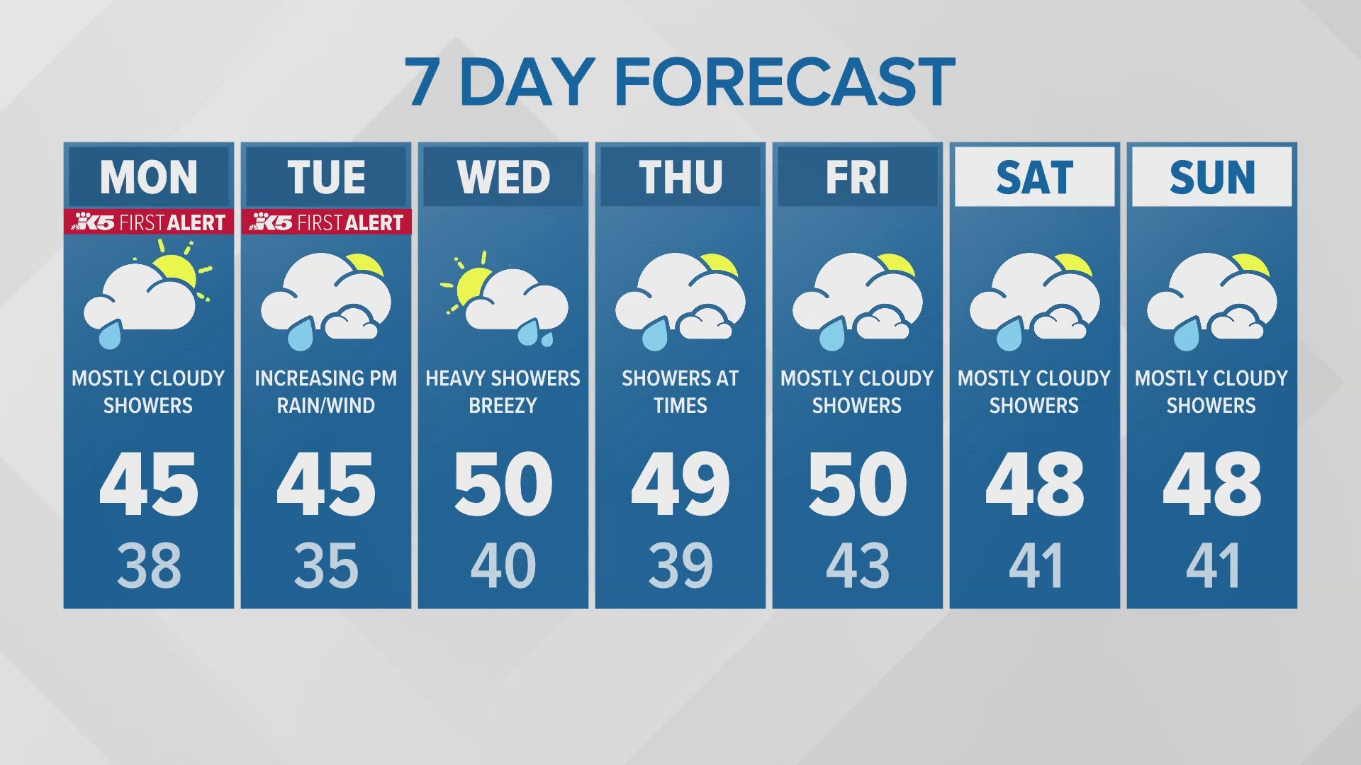
A weather system is expected to bring more mountain snow to Cascades and Olympics early this week.
The National Weather Service (NWS) issued a Winter Storm Watch from Monday evening through Tuesday evening for areas of the Cascades and Olympic mountains above 3,500 feet.
Between 8-16 inches of total snow accumulation is possible in the Cascades, and 4-20 inches of snow is possible in the Olympics by Tuesday evening. The highest accumulations are expected in areas above 4,000 feet.
The NWS said there is some uncertainty as to how much snow will fall at Stevens and Snoqualmie passes, but as of Monday morning, between 6-12 inches “would be a reasonable forecast for the passes.”
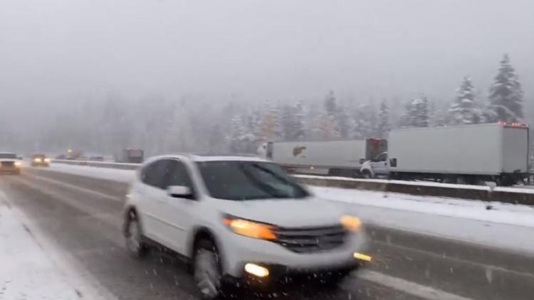
The Washington State Patrol reported heavy snow at Snoqualmie Pass around 3:30 p.m. on Sunday.
Between Saturday morning and Sunday afternoon, the NWS estimated 21 inches of snow fell at Mount Baker, 12 inches at Paradise on Mount Rainier, 8 inches at Stevens Pass and 4 inches at Snoqualmie Pass.
This time of year is about the normal time for the region’s mountains to begin accumulating snow, according to KING 5 Meteorologist Rich Marriott.
The winter forecast calls for a La Nina, which means there will be cooler than normal surface waters in the central Pacific Ocean. This means that the odds for a lot of snow in the winter go up, though it is no guarantee.
According to the latest forecast for January to the start of spring, there will be below-normal temperatures and above-normal precipitation. This recipe could make for above-normal snowfall throughout the winter.


