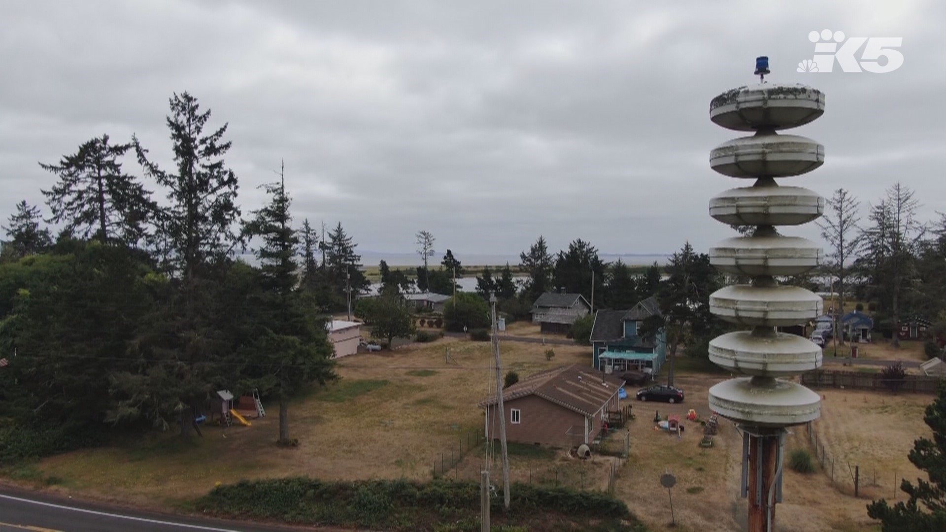
Washington’s six dozen tsunami sirens will soon get an upgrade thanks to a federal grant that will pay for satellite upgrades, new tsunami animations, and more maps and signs.
“Having these sirens connected to satellites means we’ll have a safer coast and more control over any maintenance issues that might come up,” Elyssa Tappero, tsunami program coordinator for the Washington Emergency Management Division, said in a statement.
The Washington Military Department announced the $870,752 grant from the National Oceanic and Atmospheric Administration and the National Weather Service on Wednesday.
Upgrades will help the state know when batteries need to be replaced at Washington’s 76 warning sirens on the coast and improve remote maintenance. Funding will also pay for daily status testing, monthly audio tests, emergency activations, and tsunami evacuation exercises and drills.
Grant money will also go toward figuring out how many more vertical evacuation structures are needed on the Washington coast. Vertical evacuation structures are built to withstand a magnitude 9 earthquake from the Cascadia Subduction Zone off the Washington coast. They offer residents a path to higher ground quickly as some areas of the coast could be inundated by a tsunami in less than 20 minutes, according to maps from the Washington State Department of Natural Resources.
The state already has one vertical evacuation structure at Ocosta Elementary School in Westport, and the Shoalwater Bay Tribe plans to build a second one next year. A potential new structure on the Long Beach Peninsula is being designed, and work is underway on potential structures in Aberdeen, Westport, and Ocean Shores, according to the military department.
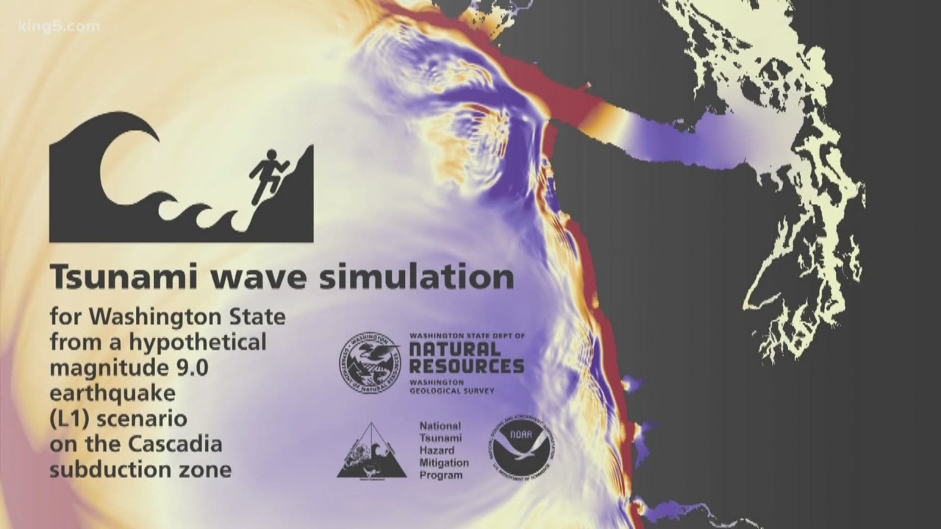
Funding will also help create animated tsunami simulations that focus on the port of Bellingham, Anacortes and Southwest Washington. DNR released animations in August for the entire Washington coast, the San Juan Islands, and Bellingham that show how tsunami waves would roll out over the region.
The money will also help create inundation and velocity maps for Hood Canal and northern Whatcom County, which don’t have maps.


