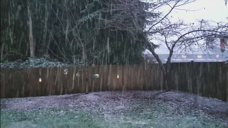
SEATTLE — Winter has returned to the forecast with a rain/snow mix possible for the lowlands off and on Sunday, but it won't last long.
Accumulations are expected to be less than an inch and concentrated in southwest Washington and Whatcom County.
Some areas reported seeing a light rain/snow mix Saturday evening, such as Paine Field in Everett.
A second chance for a rain/snow mix will be Sunday evening in Puget Sound.
KING 5 meteorologists said this system will be a much different pattern than Seattle experienced earlier in January. This time, there won’t be any cold air flowing in from the Fraser River Valley in British Columbia. It will just be chilly maritime air moving in from the north Pacific.
Also, by Sunday there won't be that much moisture left in the system, so snow showers will be spotty. Roadways are warm right now, so it will be difficult for the snow to stick on roads.
The snow level will go back up to 1,000 feet on Monday, and it's expected to be another wet week ahead.
RELATED: Western Washington forecast
RELATED: The recipe for snowfall in Seattle


